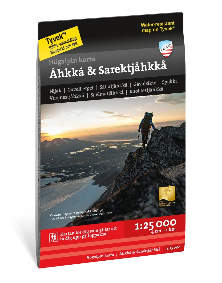
High Alpine Map Áhkká & Sarektjåkkå 1:25.000
- Secure payment by Paypal or Svea
- Svea invoice: Order now, pay later, slice your payments!
- 30 Day Returns Policy
- Fast shipping
Kuvaus
Tuotenumero: 2011
High Alpine Map Áhkká & Sarektjåkkå 1:25.000
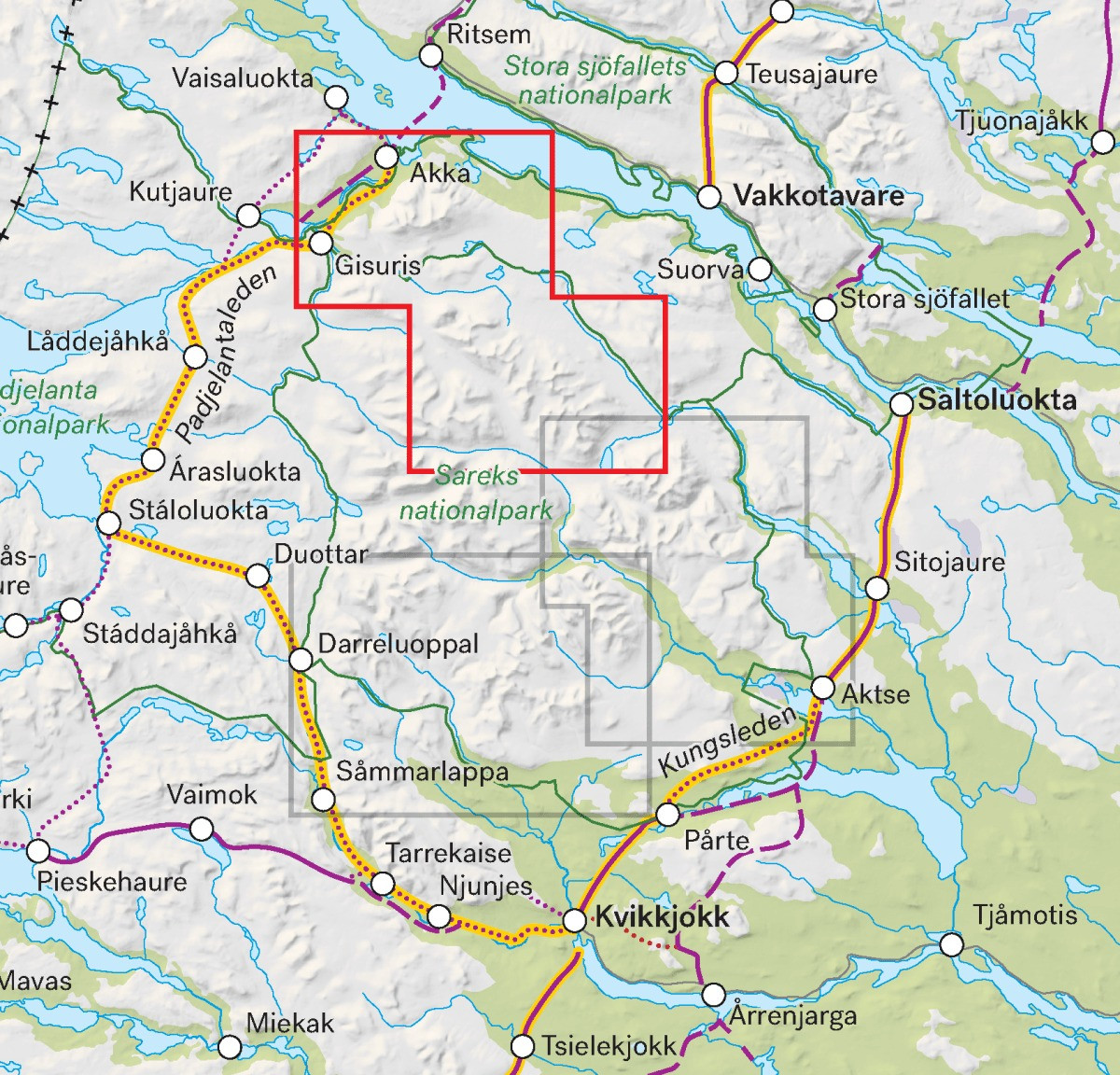
This is one of three unique maps with a wealth of detail, that has never existed before, about Sarek National Park.
The terrain information in the map is based on airborne laser scanning. For the first time, cliffs, larger rocks, forests and streams appear with an accuracy that really corresponds to reality. The current distribution of the glaciers has been developed in collaboration with the Department of Natural Geography at Stockholm University.
A map in a scale of 1:25 000 provides good support for those who do summit hikes, glacier hikes or otherwise leave the marked trails of the valleys and try new routes at higher altitudes.
We have come to the conclusion that the best material for a map is Tyvek®. It is made of a synthetic fiber that makes the map completely insensitive to water and very tear resistant. A Tyvekkarta does not break in the creases or lose its color when you use it.