Höga kusten (The High Coast) Map 1:50.000
- Secure payment by Paypal or Svea
- Svea invoice: Order now, pay later, slice your payments!
- 30 Day Returns Policy
- Fast shipping
Kuvaus
Tuotenumero: 1998
Höga kusten 1:50.000
Experience the high coast of Sweden
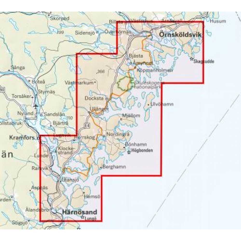
This map has been developed for anyone interested in the High Coast. It is as much a traditional terrain map for the hiker as a lake and coast map for those who want to kayak. The entire stretch of the hiking trail Högakustenleden fits on the map as well as the World Heritage Trail and of course also Skuleskogen National Park. The high coast kayak trail is marked on the map as well as services out on the coast such as accommodation, archipelago traffic, campsites, saunas and more.
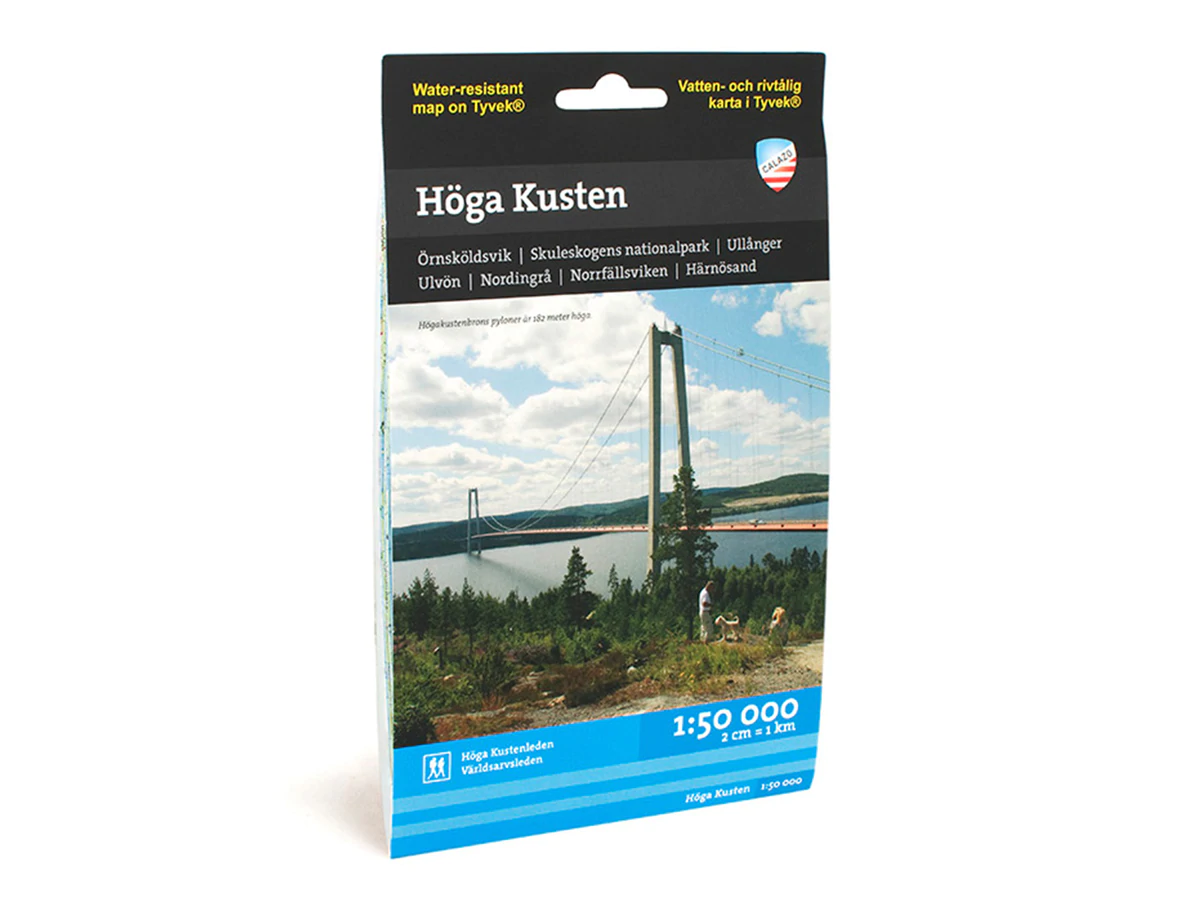
We have come to the conclusion that the best material for a map is Tyvek®. It is made of a synthetic fiber that makes the map completely insensitive to water and very tear resistant. A Tyvekkarta does not break in the creases or lose its color when you use it.