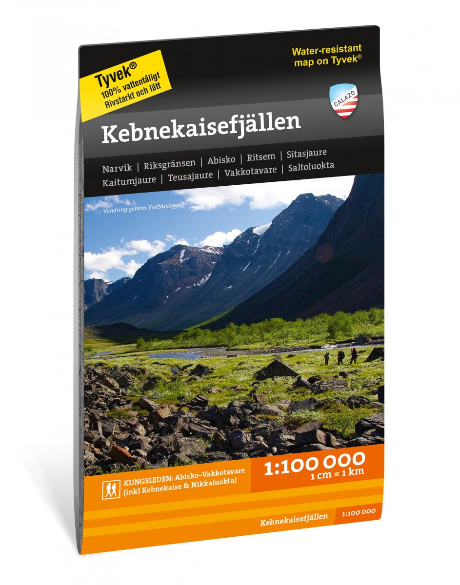
Kebnekaisefjällen 1:100.000
- Secure payment by Paypal or Svea
- Svea invoice: Order now, pay later, slice your payments!
- 30 Day Returns Policy
- Fast shipping
Kuvaus
Tuotenumero: 2003
Kebnekaisefjällen 1:100.000
For a long time, mountain maps in scale 1: 100,000 were the standard for the entire mountain range and our maps have the same appearance and content as the traditional mountain maps Lantmäteriet previously produced. The map covers large areas of the mountains and gives you a good overview of the mountain massifs etc. We usually recommend maps in a scale of 1: 100,000 to those who are going to make longer trips or get over larger areas with snowmobiles. If you want more details in the maps, we recommend our mountain maps in a scale of 1: 50,000.
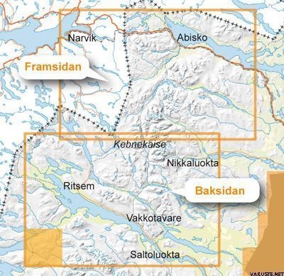
This map covers the entire Kebnekaise mountains from Abisko, Riksgränsen and Narvik in the north to Ritsem, Vakkotavare and Saltoluokta in the south.
We have come to the conclusion that the best material for a map is Tyvek®. It is made of a synthetic fiber that makes the map completely insensitive to water and very tear resistant. A Tyvekkarta does not break in the creases or lose its color when you use it.