
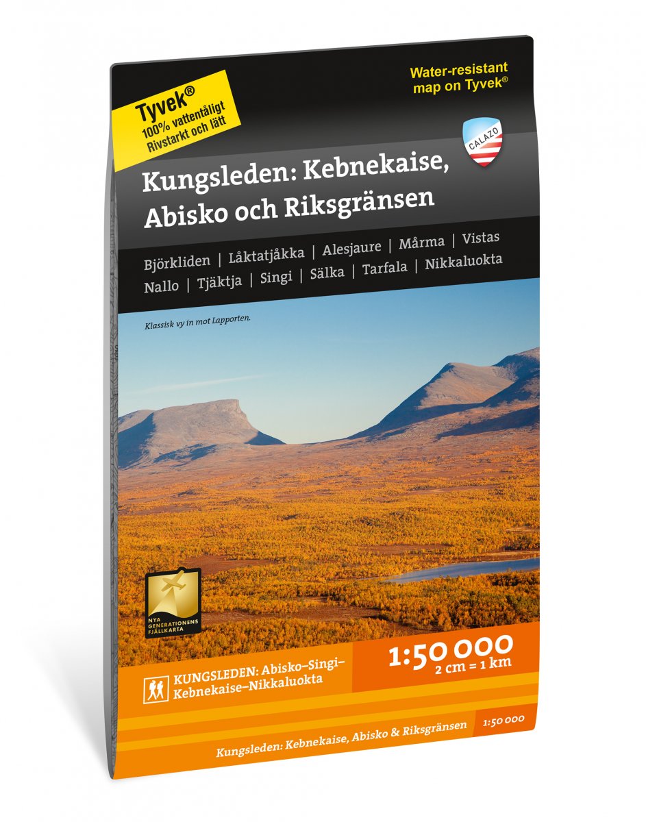
Kungsleden: Kebnekaise, Abisko & Riksgränsen Map 1:50.000
- Secure payment by Paypal or Svea
- Svea invoice: Order now, pay later, slice your payments!
- 30 Day Returns Policy
- Fast shipping
Kuvaus
Tuotenumero: 1997
Kungsleden: Kebnekaise, Abisko & Riksgränsen 1:50.000
This is one of five maps in a scale of 1: 50,000 with a unique richness of detail that covers the entire Kungsleden route between Abisko in the north to Hemavan in the south.
This map covers the northernmost and most popular stretch between Abisko and Kebnekaise / Nikkaluokta, but the section also includes the entire mountain area between Abisko and Riksgränsen and Nordkalottleden at Unna Allakasstugorna.
Should you continue your hike south to Vakkotavare or to Ritsem via Hukejaure, you can supplement with the map Nikkaloukta, Ritsem & Vakkotavre.
This map is one of the maps we call the "New Generation Mountain Map". This means a wealth of detail that is not found in other maps of the same area. The terrain information is based on airborne laser scanning. In addition to completely new height curves with an equidistance distance of 10 meters, watercourses and slopes appear in a considerably better way than before. The trails are reproduced with greater accuracy as well as marshes, buildings, stone-bound land and hard-to-reach vegetation.
We have come to the conclusion that the best material for a map is Tyvek®. It is made of a synthetic fiber that makes the map completely insensitive to water and very tear resistant. A Tyvekkarta does not break in the creases or lose its color when you use it.
