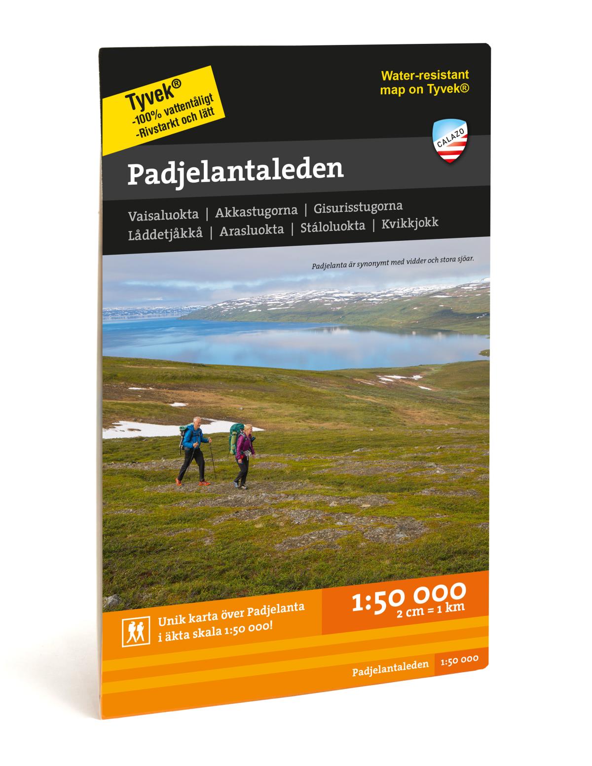
Padjelantaleden Map 1:50.000
€14
- Secure payment by Paypal or Svea
- Svea invoice: Order now, pay later, slice your payments!
- 30 Day Returns Policy
- Fast shipping
Kuvaus
Tuotenumero: 2034
Padjelantaleden Map 1:50.000
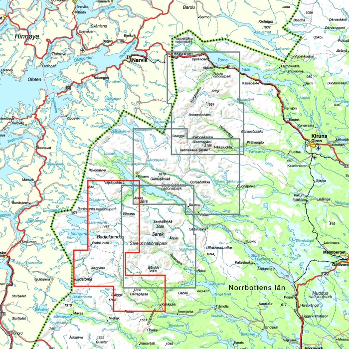
This map is specially developed for you who are hiking the Padjelantaleden. The map covers the entire route between Ritsem in the north to Kvikkjokk in the south, via classic mountain cabins at Ákka and Staloluokta. It also includes the Nordkalottleden route between Stáddájåhkå and Tarradalen, via Vaimokstugan.
The map has a greater richness of detail than other maps that are based on the mountain information in scale 1: 100,000.
We have come to the conclusion that the best material for a map is Tyvek®. It is made of a synthetic fiber that makes the map completely insensitive to water and very tear resistant. A Tyvekkarta does not break in the creases or lose its color when you use it.